
Know Before You Go
Assess a site or an area without the cost of a visit.
AI & Tech
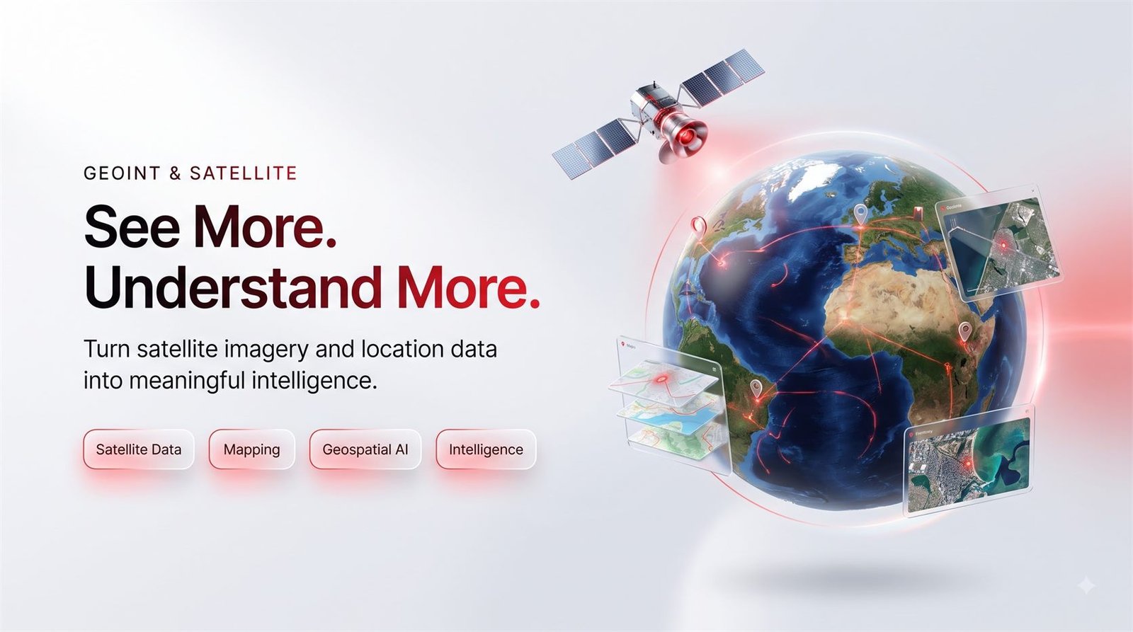
Answers from above — satellite and map data put to practical use.
Understand sites, land and locations without sending anyone to look.
What we do
Satellite and aerial imagery can tell you a great deal about a place: what is being built, how land is changing, what is around a site, how a location compares with another. Getting to that answer is the hard part.
We do the technical work and hand you the finding — a map, a report, a monitored area that tells you when something changes. Useful for planning, insurance, agriculture, infrastructure and site selection.
How it helps your business
Assess a site or an area without the cost of a visit.
Get told when something changes on the ground, automatically.
Compare places on real evidence rather than impressions.
Clear maps and reports you can put in front of a client or a board.
What you get
No hidden extras — this is what is in the package.
Current and historical satellite pictures of the sites you care about.
The findings drawn onto a clear map, not a folder of raw files.
We watch an area over time and tell you when something changes.
What is there, what is nearby, and how it has changed.
Several sites assessed side by side against what matters to you.
The conclusion in plain language, with the evidence behind it.
Our process
Five steps from first conversation to launch — no surprises in between.
We learn about your business, your customers and what you want to achieve.
We agree the approach, what is included and what it will look like.
Our team builds it, and keeps you updated as it comes together.
You see the work, tell us what to change, and we change it.
We put everything live, check it works, and stay available afterwards.
Why RinceTech
Everything we produce is made to look like a business people can trust.
We start from what you want to achieve, not from a list of features.
Current, well-supported tools, so what we build stays reliable.
Plain updates in plain language, and one person who owns your project.
We stay available after launch to fix, update and improve things.
Tools we use for this
Let's build a digital presence that works for your business.